
You have seen earth imagery on Google Maps and in news reports, showing locations of what are usually bad events, but that might be as much as you know about this fascinating and fantastically useful resource.
Fear not, BARSC is here to help with the first installment of our simple guide to all things earth observationy (if that is a word).
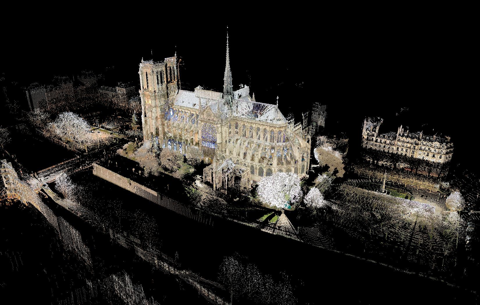
Earth imagery is the end result of taking what appear to be everyday photographs of our planet from cameras and sensors mounted on drones, planes or satellites.
But these images are so much more than just photographs.
In many industries, earth imagery is the only source of information that can support correct decisions, ensure safety and aid future planning.
Defence, energy, agriculture, forestry, shipping, urban planning, disaster response and so many other industries need earth imagery.
But we get it, no one wants to show that they don’t know something and so the complicated bits of earth imagery get in the way of people using it.
In this ongoing guide, we’ll demystify the world of earth observation, explore how it’s transforming industries, and look at examples of how you can use it in your workflows.
What Is Earth Imagery?
The R and S in BARSC, stand for Remote Sensing which is an overly complicated two-word term that means to look at something without touching it.
Earth imagery is the end result of remote sensing (sometimes people use earth observation to add further confusion) and usually refers to pictures of the Earth’s surface captured from above (hence the satellites, drones, or aircraft).
But, if you have tried to take a photograph deep underground in a cave (and who hasn’t?) you’ll know that photography, just like sight, doesnt work so well without light.
Earth imagery sensors collect the reflected light from the scene below them to create the image but here’s the thing: there are a lot of different types of ‘light’.
Optical – this is the same as your phone camera, using reflected visible sunlight to create a picture.
Infrared – outside of human vision (but famously used by the Predator in the 1987 Schwarzenegger classic), IR sensors are designed to measure the heat emitted by whatever is in the image.
Radar – radar is what’s known as an active source of imagery: that means that the image is not created by collecting reflected sunlight but by measuring how long it takes for a radio signal, which the sensor sends out, to be reflected back. Complicated stuff, but for now all you need to know is that radar image can see through clouds and at night!
Multispectral and Hyperspectral Imagery – these sound very ‘sci-fi’ but there are so many types of light that we cant see with our eyes. We know that because we make sensors that do see them and we can use combinations of tens or hundreds of these ‘invisible lights’ to create images that show us things we cant normally see.


The famous Hollywood sign in the Santa Monica mountains
Make Believe – Earth Imagery Myths
Whilst Hollywood has entertained millions of people, their sci-fi and action films have introduced a number of misconceptions about what is possible using earth imagery collected by satellites from space.
So, let’s clear up some common myths:
“We can zoom in and read the label on his cigarette pack” from Enemy of the State
Whilst nearly everything is large enough to be seen from space, space-based earth imagery cannot zoom in that far. Some earth imagery can pick out objects that are as small a schoolchild’s ruler. As long as that ruler is more than thirty centimetres or twelve inches long.
“We can track him in real-time, anywhere on Earth.” from The Bourne Ultimatum
Not really, but sort of. Outside of the defence industry (we assume!), commercial satellites can not provide real time earth imagery. That said, the time it takes between taking an image and having it on the screen is dropping all the time and can now be measured in minutes.
A single earth imagery satellite can take up to sixteen days to revist the same spot so unless Jason Bourne was dragging himself along with only his tongue, the image will only show where he was that day.
Now, imagine that there are hundreds of satellites up there – a constellation, fleet, swarm, choose your collective noun – then, like busses another one will be along in a few minutes to take another snap. That way, things can be tracked a little like how the Wallace and Gromit BAFTA-winning films are made.
This is all great but how do I use earth imagery?
Looking at pretty pictures of the earth’s surface from above is well and good but why would anyone do that for a living?
Well, in the next installment, we will delve deeper into certain applications of earth imagery but for now here are a few uses of this technology:
The gridded city streets of Riyadh, Saudi Arabia from space
Image from Copernicus Sentinel 2, European Space Agency